

A re establishment survey often sits at the crossroads of history and on the ground facts, and clear verification of ownership can prevent costly disputes later on. Surveyors and property professionals must assemble documentary proof, field evidence, witness input and modern coordinate data to form a coherent picture.
The process calls for a measured approach that blends archival work with careful measurement and measured judgment. When the paper trail and the physical markers tell the same story, the chance of error drops and the record stands up to scrutiny.
1. Review Historical Records
Begin by collecting original deeds, plats and recorded surveys tied to the parcel in question. Old instruments may contain unique legal descriptions that help link present day boundaries back to earlier ones, and dates and signatures matter when tracing who held title at a given time.
Tax rolls and municipal records can reveal patterns of possession and show which name appeared on which roll for each year, and those entries can fill gaps left by missing deeds. When sketchy or contradictory entries appear, maintain a clear log of sources and note any anomalies for later reconciliation.
Next, compare multiple archival sources against each other to spot errors in transcription or mistaken entries in the file. Many older surveys were tied to physical monuments that have since been moved or removed, and a record that quotes distances without the monument location can be misleading.
Where chain of conveyance has gaps look for auxiliary documents like probate filings and court orders that may clarify transfers. A methodical cross check of the documentary record reduces reliance on any single document and helps build corroboration.
2. Field Marker Confirmation
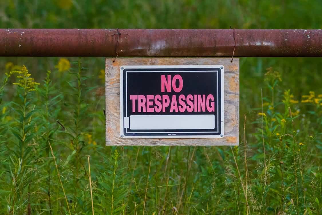
On site, search for monuments and physical markers such as iron pins concrete monuments stone bounds and reference points described in older instruments. Physical features sometimes move or are replaced but careful excavation or soft probing can reveal buried pins that point toward the original line.
Photographic records from the field visit tied to GPS tagged points can document the condition and exact location of found markers for later comparison. When a marker is missing, identify the nearest stable monument and measure its relation to the parcel to reconstruct the intended position.
Take precise measurements between found monuments and compare those values with the distances and bearings listed in the recorded descriptions. Small discrepancies can be signs of measurement error from older surveys or of later disturbance that shifted monuments.
If measurements match within reasonable tolerances, that concordance strengthens the claim that the physical evidence and the paperwork refer to the same boundary. When numbers diverge markedly, retain clear field notes about potential causes such as erosion development or prior unauthorized work.
3. Chain Of Title Examination
Trace every transfer in the chain of title from the earliest recorded grant that affects the subject property to the present owner, paying attention to any reservations easements or conveyance language that could alter rights.
Where uncertainties arise, a title re establishment survey in Melbourne can help confirm whether the recorded transfers align with the true physical boundaries. A careful title run will flag quitclaim deeds ambiguous conveyances or clerical mistakes that change the way boundaries are described.
Where record descriptions refer to adjoining tracts or common markers, pull those adjacent records to see whether their descriptions align and create mutual confirmation. Title abstracts and certified copies provide the legal backbone required to link possession to legal entitlement.
Search for recorded easements disputes and court orders that may have changed or fixed a boundary in the past and note their legal effect on current ownership. Title insurance commitments and endorsements can provide another layer of assurance and may reveal exceptions that merit field attention.
Look for gaps such as unrecorded transfers or adverse possession claims and document any uncertainties for the client and for counsel. Clear annotation of chain gaps helps guide further investigative steps and supports transparent communication.
4. Witness Testimony And Affidavits
Interview long time neighbors former owners and local officials who can recount historical uses of the land and recall where fences roads and other boundary lines once stood.
Eyewitness accounts can supply context that written records alone do not, and contemporaneous notes taken at the time of interviews strengthen the evidentiary value.
Obtain signed affidavits from parties with direct knowledge when possible and include those affidavits as part of the survey file to show who stated what and when. Treat recollection with caution and prefer corroborating items such as dated photos or receipts that support the spoken account.
When original surveyors are available their notes field sketches and sworn statements can be invaluable in reconstructing intent and method from earlier work.
A surveyor who certifies that a prior measurement was taken to a specific monument carries professional weight and helps bridge a gap between the archive and the present field condition.
Combine verbal testimony with hard measurements and recorded evidence so that no single source bears the entire burden of proof. In the end the more independent threads that point in the same direction the stronger the finding of ownership.
5. Modern Survey Tools And Coordinate Checks
Use global navigation satellite system receivers total stations and state plane coordinate grids to establish a precise modern control framework for the parcel. High accuracy coordinate checks allow comparison of current boundary lines to coordinate values implied by older surveys and help detect whether old bearings and distances translate to the same place in space.
Employing control points that tie to national or regional geodetic monuments gives a stable reference that reduces error from local distortion. Digital records that include coordinate metadata make later verification repeatable and transparent.
Integrate remote sensing data such as aerial imagery point clouds and historical ortho photos to add a temporal layer that can show when a feature first appeared or moved. These data sources create an independent record that can corroborate field findings and documentary timelines.
When new coordinates clash with recorded descriptions perform a reasoned adjustment analysis and document the decision pathway used to reach the final boundary. Present the numeric evidence alongside narrative explanation so that both technical and non technical stakeholders can follow the logic.